Orienteering with your smartphone at Bytheway Fields
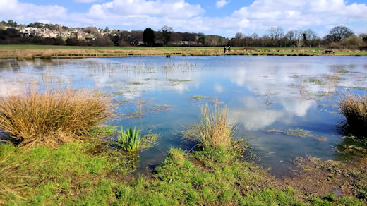
Leigh Common and neighbouring BytheWay Field provide a well used recreation facility for the people of Wimborne and Colehill. BytheWay Field is East Dorset's first Suitable Alternative Natural Green Space. SANGs are designed to offer a purpose-built outdoor recreation facility.
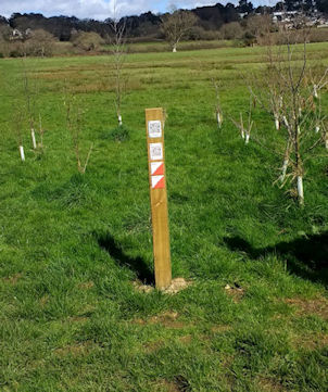
IN 2016,Christchurch & East Dorset District Council and Wimborne Orienteers established a new permanent orienteering course on Bytheway Fields. If you have a smartphone, the course uses the MapRun app (download from your usual App store or direct from: maprunners.weebly.com). Navigate to the Start/Finish point on your map, then open the MapRun app and tap the 'Events near me' button, then select your course and enjoy your run. Then you can upload your results and see how you did compared with other people.
Without a smartphone, use paper & pencil to write down the markers as you find them! You can come back again and again and have as many goes as you want.
Please note that since local government reorganisation, responsibility for the upkeep of the courses passed to Dorset Council: please make any reports about missing markers or comments to their countryside team at Moors Valley Country Park.
The Permanent Course map and Instructions for how to use the course can be downloaded from the links below. (NB The links to E Dorset Council in the instructions no longer work. The correct link for more information is given below)